22nd Oct, 2008 12:00
Maritime and Scientific Models, Instruments & Art (Association)
31
[M] AN 18TH-CENTURY CHART OF THE BERING...
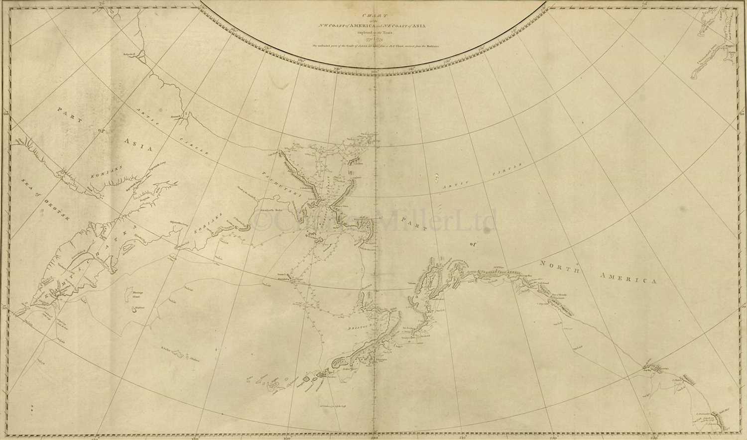
AN 18TH-CENTURY CHART OF THE BERING STRAIT
engraved by T. Harmer and including Cook's explorations, entitled CHART / of the / NW Coast of AMERICA and NE Coast of ASIA / explored in the Years / 1778 & 1779 / The unshaded parts of the Coast of ASIA are taken from an MS Chart received from the Rufsians
16 x 27in. (40.5 x 68.5cm.) Framed and glazed
Estimated at £300 - £500
engraved by T. Harmer and including Cook's explorations, entitled CHART / of the / NW Coast of AMERICA and NE Coast of ASIA / explored in the Years / 1778 & 1779 / The unshaded parts of the Coast of ASIA are taken from an MS Chart received from the Rufsians
16 x 27in. (40.5 x 68.5cm.) Framed and glazed
AN 18TH-CENTURY CHART OF THE BERING STRAIT
engraved by T. Harmer and including Cook's explorations, entitled CHART / of the / NW Coast of AMERICA and NE Coast of ASIA / explored in the Years / 1778 & 1779 / The unshaded parts of the Coast of ASIA are taken from an MS Chart received from the Rufsians
16 x 27in. (40.5 x 68.5cm.) Framed and glazed
Auction: Maritime and Scientific Models, Instruments & Art (Association), 22nd Oct, 2008
